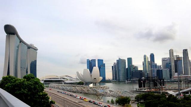
 Singapore is planning a 3-D map of the entire country which is expected to be completed by 2017 at is going to incur a cost of $73 million. This detailed map of Singapore will show virtual 3-D replicas of trees, car park lots, roads, buildings and all other above the ground structures.
The map will not only show structures but will also give information about those structures. For example a building can be clicked on to find out about the material used to make the windows of that building and how many hours of direct sunlight are faced by that building every day. This map is going to help the government in tackling major problems such as crowd control, flooding and noise levels. The Prime Minister of Singapore, Lee Hsien Loong, first announced the Virtual Singapore last week as part of his 10-year goal of making Singapore a smart nation.
This Sunday the National Research Foundation (NRF) released more details about the map during a media briefing. Low Teck Seng, chief executive of the NRF, said “Its potential uses are limitless.” To protect the privacy of individuals, security and data protection safeguards will also be put in place informed Asia One. Tan Kok Yam, the head of the new Smart Nation Programme Office said, “Even for people who may not know anything about Virtual Singapore, we hope that this will be of great benefit to them – be it in mobility, noise control or city liveability.”

Be the first to comment